
Mapping Center

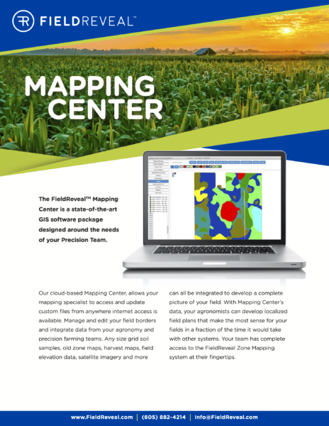
Our Mapping Center team of GIS and data management experts use state-of-the-art software to integrate data and provide support to agronomists who use FieldReveal Tools. This team can manage and edit field borders and integrate map data from multiple sources, including grid soil samples, zone maps, harvest maps, field elevation data, satellite imagery and more. Everything is reviewed by an on-staff agronomist, and the results are zone maps that paint a complete picture of every field.
Supported by our Mapping Center team, agronomists have experts available to help develop localized field and production management plans in a fraction of the time required to generate the same output with other systems.
Mapping Center
Questions?
Email info@fieldreveal.com or call (605) 882-4214